Douglas Bundy

Stella Lake

Stella Lake Mine

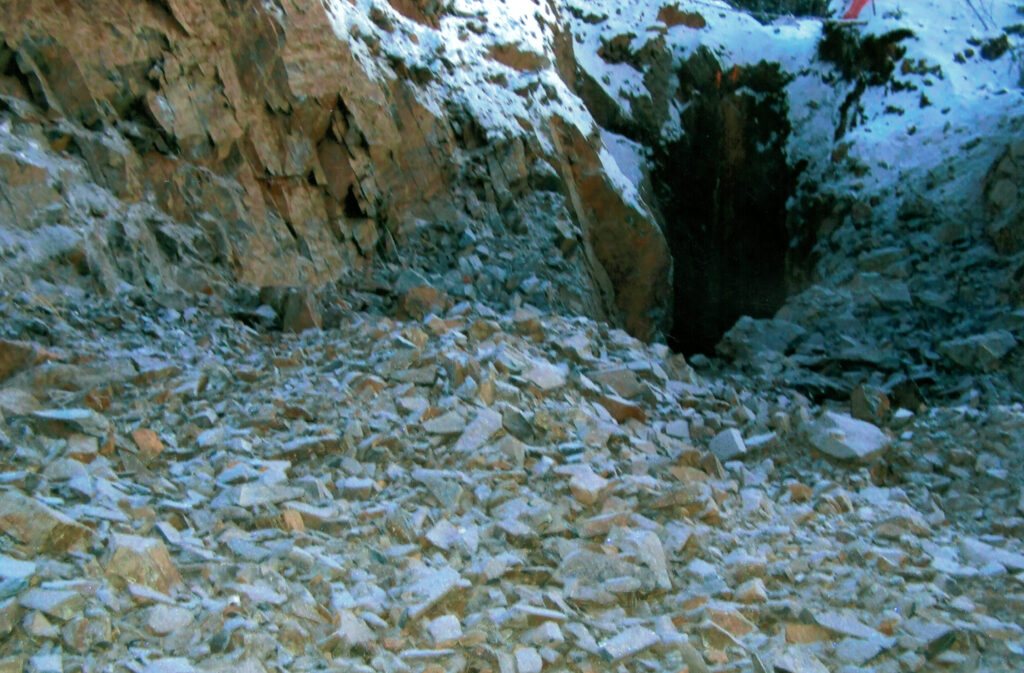
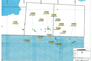
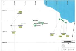
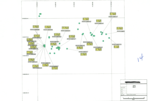
While going through the historical paperwork from the recently acquired group of claims relating to the Stella Lake showing I found these old maps of exploration dated February 1931. They show areas that we were not aware of marked “New Discovery”. We have explored the main areas looking at the old shafts and trenches and spent some time at the area marked “tunnel”. We found the well-hidden tunnel and entered the opening to find it was very stable and went into the rock formation a total of about 105 feet. We gathered some grab samples from the stringer quartz that lined the walls with some assaying at 1-6 oz. and one just outside the opening of the adit assaying a 96 oz. There is a cribbed shaft at the opening that shows a depth of 65′ in front of the adit. The shaft is filled with water so we couldn’t gather any samples at this time. We have plans to expose the old vein at this location to get to untouched rocks for further assay samples. The “new discovery” marked on this old map shows the area on surface just north of the adit, but still probably connected to the adit vein below at a depth of about 30-40 feet. It has never been looked at for exploration by us. (We didn’t even know it existed). We will have the equipment at the location early this summer for possible exposure of a new extension of the gold bearing quarts veins at the Stella. Just south of the Stella showing we found 7 old pits that were filled with water so we couldn’t do anything until we pump  the shafts out. From surface we could see rusty quarts veining that looks promising. We also found old mapping that has been marked “new discovery” also, again we didn’t try to expose this as we ran out of season but we will be looking again when weather permits. We are hoping that this area may show a connection between the Wendigo gold, silver and copper producer that poured the last gold bar in 1943. (See the Wendigo reports on this site too.) None of this area has had in-depth drilling but, the Wendigo did have very good gold, silver and copper at 200′ plus. Just to the east of the Stella is the Kite Lake showing that showed high grade gold assays at the three pits.  The pits are not filled to the top with water and we can see a quart vein about 18″ wide from the top. We have a (Kite Lake report) attached also. Just west and south a bit we came across another well-hidden pit that were able to gather some samples from and got very good assay results.  

Assays

Maps

Witch Bay

Witch Bay Mines

These claims include most of the historical GOLD showings in the “Greenstone Belt” southeast of Kenora Ontario. These claims have continuous gold showings for about 3K and a width of about 1K. The project is fully permitted with much work done and a large exploration program is planned as soon as the weather permits. We have already moved equipment (excavator, loader, and dozer) to the site and will be concentrating on the extensions of exposure of the high-grade assays from grab samples. (Grab sample assay reports are attached). The history of gold in this area goes back to the turn of the century, we have put together a claims package that includes the old, recorded showings at Stella Lake, Blue Star, Jenny Leigh, Kite Lake, Beck, Fort Knox and the Trigg’s showings from that time. After years of exploration, we were able to add the Pacific Iron property recently to make everything continuous for the 3K. Just to the south of this project is the Wendigo Mine that produced gold, silver, and copper until 1943 ( a picture of the last bar is on here). 67,000 oz. Gold, 14,760 oz. silver an 1,866,246 lb. of copper. The average gold was .33 oz. Per ton. The maps show the “Greenstone Belt” and Faultline south of Kenora from Mining Ontario marked with gold, silver, and copper deposits. One of the deposits was the Kite Lake deposit. The assays from here were exceptionally good and will be a target for future stripping. We will be posting new pictures and assay results after we start working this spring… Stay tuned. Doug The big gold producers and most geologist say the next big gold discovery will come from a previous discovery that was never explored at depth. We are looking for a company that is in a position to take our years of work and knowledge of this project to the next level. The object of this material is to enter into an option agreement with a company that is willing to put the money in the ground. This project is FULLY PERMITTED and ready to go. Contact Doug@ontariogoldproject.ca for more information and set up a meeting as the weather breaks and gold prices keep going up.
highgradepyritegold2
Triggs Mine
Triggs Mine On the same belt as the Stella, with similar formation and ore bodies, is the Triggs mine, situated east of Witch bay on a fairly good wagon road about 2 mile in length extending from a small...
Read More
veryhighgrade2
Kite Lake
Kite Lake Mine Mineralization Comments Nov 22, 2017 (R Tuomi) – 1970 drilling best intersection assayed 0.38% Cu and 0.02% Ni over 1.2 m. Mineralization included pyrite, pyrrhotite and chalcopyrite....
Read More
cave
Stella Lake
Stella Lake Mine While going through the historical paperwork from the recently acquired group of claims relating to the Stella Lake showing I found these old maps of exploration dated February 1931....
Read More